
Khaled Ragab
The data in this map was collected with the help of my colleague, Mr. Magdy, during a mapping workshop that took place in Cairo. The workshop was led by Dr. Nabel Hady.
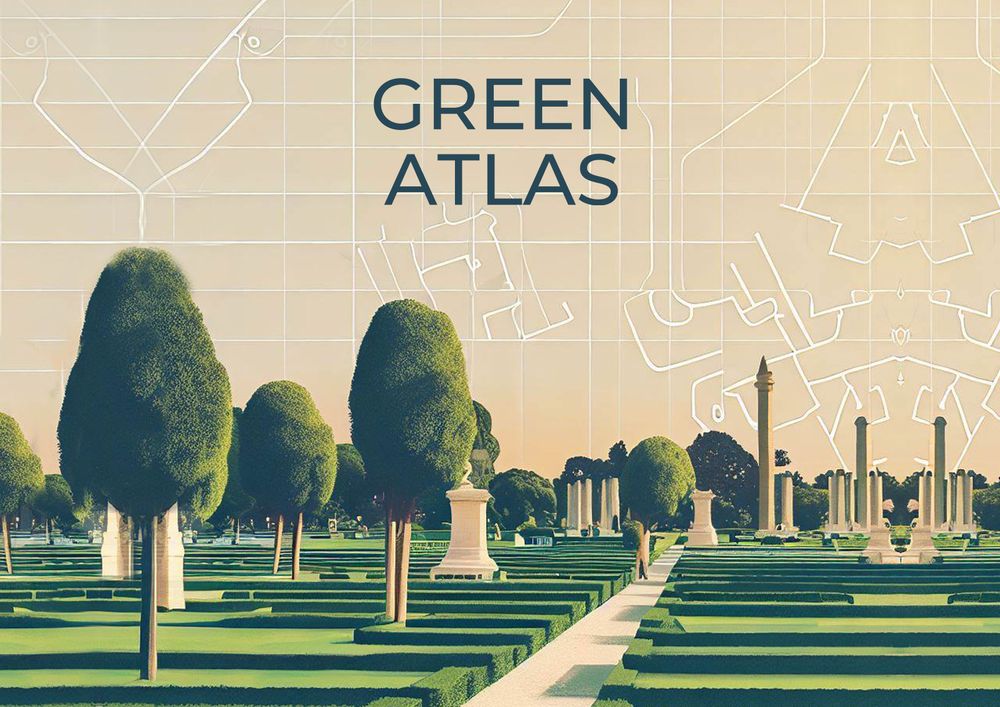
As a participant in a tree mapping workshop that took place in Cairo, I was part of a collective effort to map out the trees in various public areas, including historically significant locations such as the Faculty of Engineering at Cairo University, Giza Zoo, and Orman Garden. The data and experience gained from this workshop inspired me to create a digital map i called the “Green Atlas.”
Using Google’s My Maps, I created a digital map that contains the longitude and latitude of every tree mapped during the workshop. Additional information such as tree type, canopy, and height is also included. This digital map, which can be updated and accessed by anyone with a link, serves as a valuable resource for understanding and preserving the green spaces within Cairo’s urban landscape.
The Green Atlas provides an opportunity for individuals and organizations to engage with and contribute to the preservation of green spaces within Cairo and also in other cities around the world. By providing a digital map that contains detailed information about the trees in urban areas, the Green Atlas serves as a valuable resource for understanding and preserving green spaces within cities.
This idea stems from my participation in a tree mapping workshop that took place in Cairo. The goal of the workshop was to map and document the trees in the area of the Faculty of Engineering, Cairo University, Giza Zoo, and Orman Garden. I was part of a team tasked with mapping the area of the Faculty of Engineering and Cairo University. We conducted fieldwork and toured the Orman Garden and Giza Zoo.
My personal motivation for participating in the workshop was to gain a better understanding of the role and agency of trees in our urban environment. I wanted to view the city from a different perspective - a “non-human” one and explore how it shapes my understanding to the urban landscape.
two challenges arose: technical and epistemological. We adopted a human-centric approach, using arm length and steps for data collection to provide an organic perspective in mapping. However, this introduced limitations and led to minor inaccuracies in location data due to mobile phone usage. Identifying and classifying tree species posed another technical challenge, addressed by botanical expertise. Digitizing and integrating the data into an interactive map required meticulous attention to detail and data management.
The epistemological challenge involved reevaluating our understanding and perception of trees. In the eyes of city developers, trees were often regarded as mere decorative elements or abstract representations on maps, serving as fillers in the urban planning process. However, the workshop facilitated a paradigm shift through simple acts like looking up at the trees while collecting their location data. This shift led to the realization of the immense scale difference between us and the trees. It became evident that trees symbolize not only our scale in the universe but also serve as physical evidence of their journey through time. Some of the mapped trees were more than 100 years old, representing a different era in Egypt's history, where it was a powerful nation showcasing its might by introducing non-native trees and plants into the Orman Garden, creating a mini ecosystem. Reflecting on the trees, their history, and their place in the city raised profound questions about our city's identity and our role within it.
This shift in perspective, from viewing trees as mere elements on a map or plan to recognizing them as living museums and vital components of our urban environment, was an eye-opening experience. It emphasized the importance of looking beyond surface-level aesthetics and appreciating the historical and cultural significance of trees. By looking up to the trees, we gain a deeper understanding of our city, its past, and our place within it.
These are more of a wishes than next steps :)
To explore the possibility of creating a global network or alliance of urban tree enthusiasts, researchers, and practitioners, and initiate collaborative projects or campaigns that celebrate and advocate for urban trees.
To join or create an online community or platform that connects urbanists who are interested in urban trees and their role in city-making, and share projects and insights.
To participate in or contribute to existing online or offline networks or platforms that bring together urbanists.
you can try and map the trees in your area and add the data to the map in this link : https://www.google.com/maps/d/edit?mid=1LsOlvzaUS7RSBOBNjbBI6Xozbigj55g&usp=sharing
mapping trees in Egyptian cities workshop
sound mapping week by "For Cities" in Cairo


